You may not have heard of Pythagoras Karampiperis, nor the company he leads, SCiO.
The Athens-based startup, spun out of Greece’s National Centre of Scientific Research "Demokritos”, won a landmark United Nations competition a little earlier this year that passed under most radars.
To win, SCiO built and open-sourced a tool that taps some extraordinary geospatial datasets and models.
Among them: indices based on NASA imagery and climatic measurements to assess how much water is present between soil surface and groundwater level; models that combine evaporation from the soil and transpiration from plants, to return evapotranspiration readings that tell users how much water is needed through a growing season; three soil moisture products; high resolution land cover geospatial data; and a lot more.
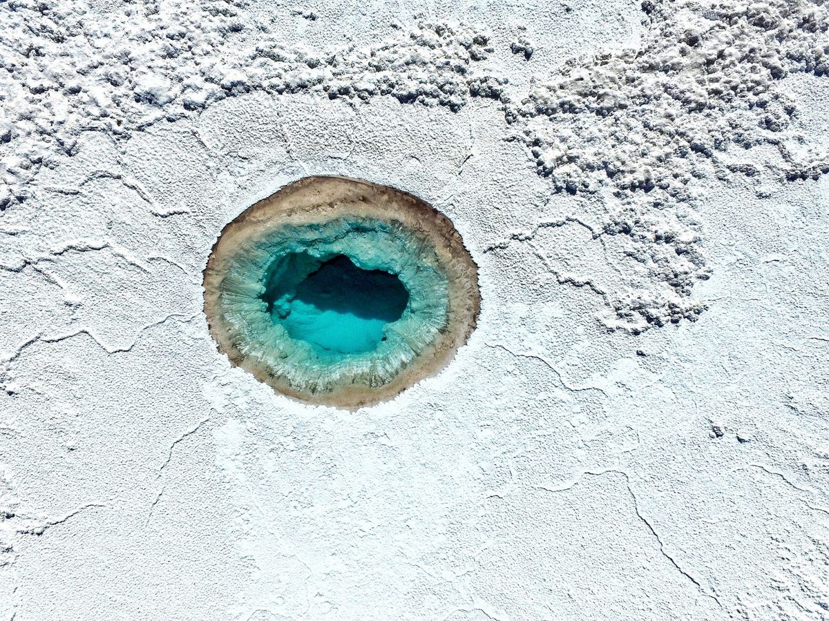
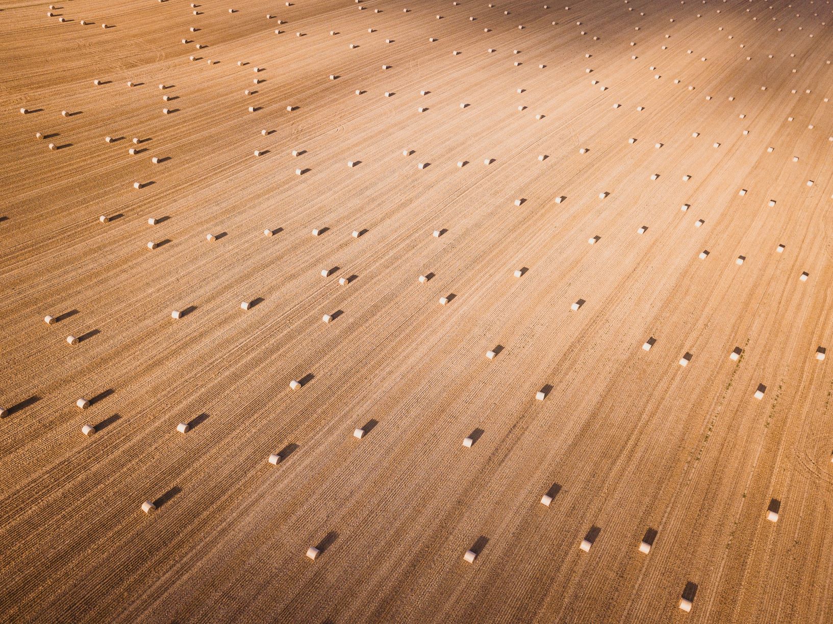
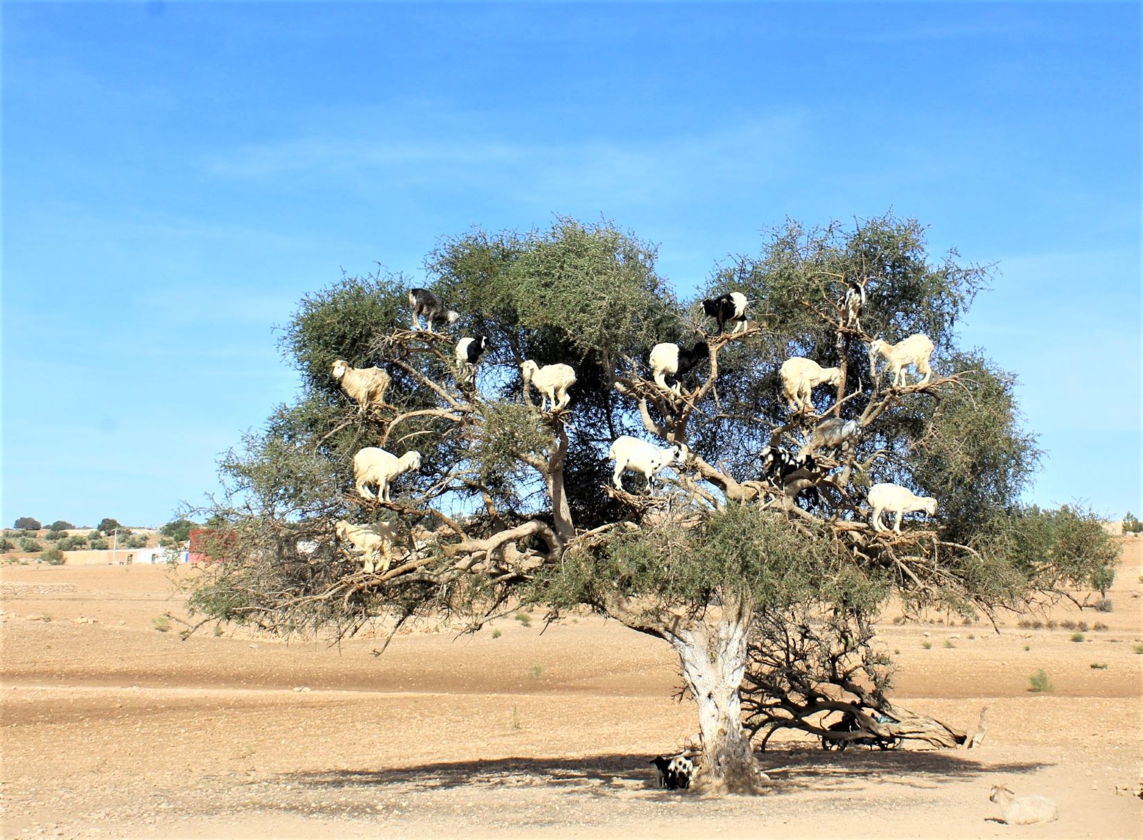
The tool's purpose: helping policy makers reverse rampant land degradation. (Globally, only 7.8 billion hectares of land are suitable for food production. More than 25% is degraded, and 500 million hectares have been totally abandoned, the UN estimates. With some creative thinking, much could be restored to fertility for future use.)
The competition SCiO won was run by the UNCCD – a global partnership to prevent land degradation and promote sustainable land management. Among the UNCCD's aims is promoting “Land Degradation Neutrality” (LDN) -- achieving a state of no net loss of healthy and productive land.
What that means is a much more visceral thing than the acronym makes it sound: tackling the damage caused by the bulldozing of old growth forest; working out to prevent the spread of deserts caused by slash-and-burn agriculture or urban sprawl. Trying, in short, to offset human damage through good land practices – “avoiding degradation whenever possible and restoring land that has already been degraded”, as the UNCCD puts it.
There are numerous reasons why this is important. Fixing damaged ecosystems mitigates against climate change -- by increasing carbon stocks in soils and vegetation it can transform land from being a source of greenhouse gas emissions to a carbon sink. It bolsters nature’s own defences against disasters and extreme weather events such as wildfires, droughts, floods, and dust storms. And it improves food security.
This is not some woolly academic idea: The UNCCD has helped over 120 countries identify land degradation drivers and trends, define a land degradation baseline, and establish LDN targets. But doing it properly requires local knowledge-based, better land use planning, and multi-terabyte datasets.
That's where organisations like Pythagoras Karampiperis' SCiO can come in.
His startup joined forces with a range of international collaborators -- non-profit ICARDA, global networks WOCAT, and ELD, Italian university UNISS, and policy makers in Tunisia and Burkina Faso to respond to a UNCCD competition to “develop tools to support land use planning for Land Degradation Neutrality”.
Winning* in March 2021, they drew on a wide range of datasets to build an interface that lets users to evaluate land use and land management transition scenarios: with visual representations of land degradation gains and losses under different courses of action. The tool, dubbed LUP4LDN, pulls in, visualises, and analyses datasets including thermal data from Landsat’s Operational Land Imager and the Moderate Resolution Imaging Spectroradiometer (MODIS) on NASA’s Terra satellite – accessed by API from the Trends.Earth platform*.
*The grand prize for the organisation was a modest $100,000. Saving the world has to be its own reward: nobody’s writing VC-style checks out there for organisations trying to fix planetary woes. They should be, given the money burned on endlessly loss-making companies. Don’t even get us started. Jeff Bezos, call us.
**Trends.Earth is a platform created by Lund University, NASA and Conservation International that lets users assess land trends through three indicators: land productivity, land cover and soil carbon.
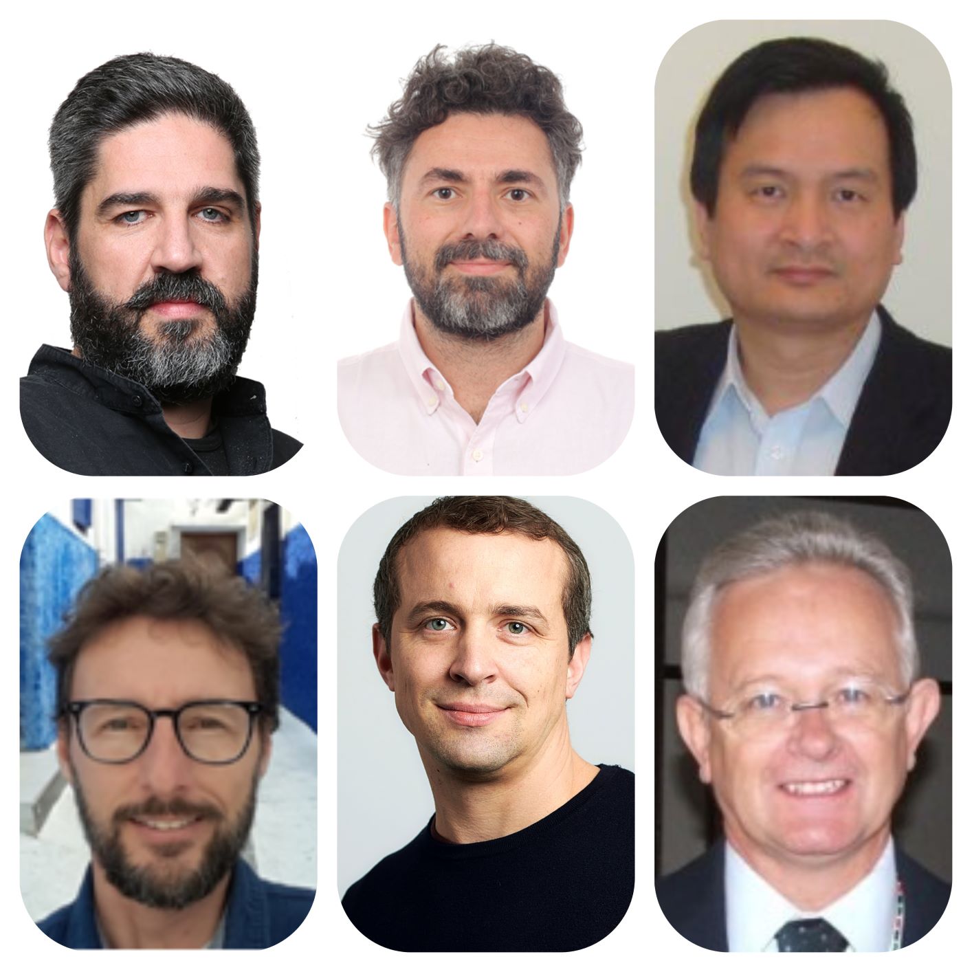
The core SCiO team. Top row (l-r): SCiO CIO Pythagoris Karampiperis; ICARDA's Enrico Bonaiuti; ICARDA's Quang Bao Le. Bottom row, (l-r): UNISS's Claudio Zucca; WOCAT's Tatenda Lemann; ELD's Richard Thomas.
As the former academic told The Stack: "The project required not only huge amounts, but also diverse heterogeneous sources of data. Luckily, Trends.Earth does excellent work in providing geospatial tools for monitoring land degradation.
He added: "Our tool builds on that, along with many other sources that we need to combine together, in order to do three things. The first is provide data to understand what has happened during the last two decades. The second is to forecast what will happen if you don't take action. The third has to do with the planning: the aim is provide you an intuitive interface to plan at both local level and national level, and to give you projections of the final outcome, just to be able to measure somehow how how close you are in reaching LDN targets."
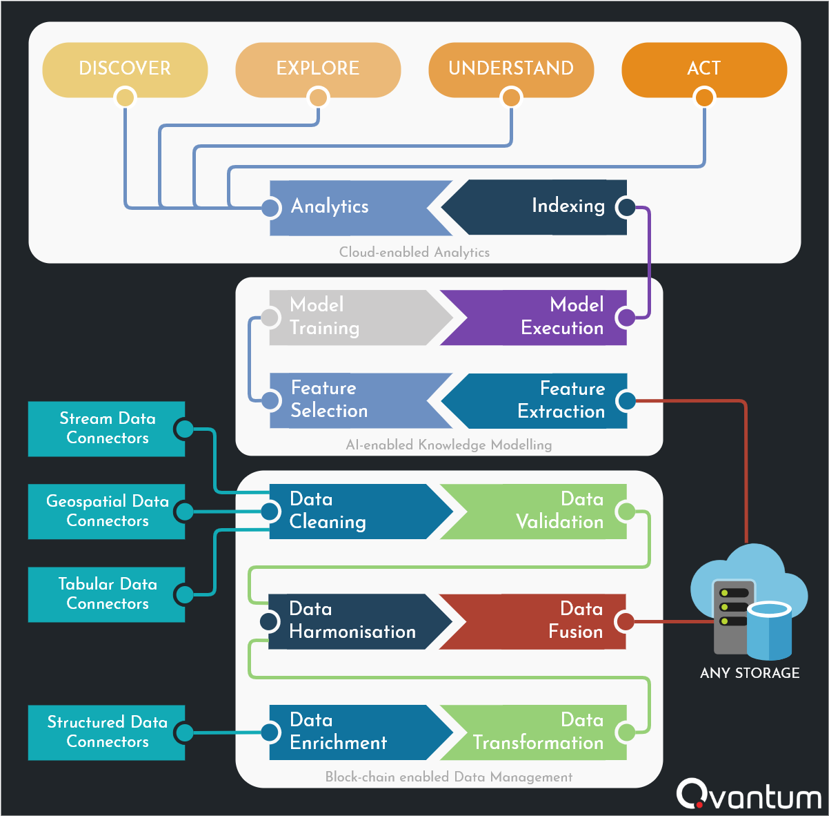
SCiO's tapping its own machine learning experience and "Qvantum" platform to support the LDN project.
Open sourced under a GNU GPL v3.0 license, the tool is in beta release, with models built to assess different outcomes of different land use types across Burkina Faso and Tunisia.
SCiO tapped the open source QGIS project to help deliver the visualisations and used its "Qvantum" platform -- a collection of services based on a microservices architecture that communicate to each other by submitting and/or consuming events from a cluster of message brokers that can be deployed on the cloud or on-premises -- to help underpin the project.
SCiO aims to get a fully user-validated version running smoothly by September 2021. . But there's a lot of work to do. As Pythagoras notes "you can imagine how how big all the computations are for us to support this globally... we're talking about petabytes of data, that need to be harmonised; with many different formulas to be calculated over this data space."
The big step of an initial front- and back-end build made, and appreciated noises forthcoming from policy makers in Tunisia and Burkina Faso, SCiO continues to work to improve the tool.
Its roadmap includes custom weighting of impact indicators; the handling of user-defined land use classification schemes; how to best make use of serverless computing components and cloud-optimised GeoTIFFs (COGs) for better workflows on the cloud; improvements to optimise caching and storage mechanisms, and more.
The big ambition: taking the tool fully global by the end of the year.
With a truly important mission, the "LUP4LDN" tool deserves both attention and support.
So if you are a technology vendor and want to help by donating cloud resources, designers, or open source contributions, pop us a line and we'll put you in touch with the SCiO team.